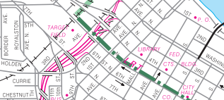
Geographic Information & Mapping

The Geographic Information and Mapping (GIM) Section is responsible for preparing and maintaining base mapping products. The dataset includes metadata and information about transportation features, boundaries, and stream and lake locations. While these maps are built in GIS, they are offered online in PDF format. The GIM Section also offers GIS support and training.
The GIM Section produces MnDOT's cartography for the Official State Highway Map as well as individual GIS maps for Minnesota's 87 counties, 856 cities, and 1,781 townships. The section also provides other GIS products, special purpose mapping, and services upon request for reports and exhibits.
Paper copies of our maps can be obtained at MnDOT's Map and Manual Sales. For additional information about MnDOT traffic data, please visit https://www.mndot.gov/tda/.
Cartographic Products - Minnesota Official State Highway Map and other static maps at the state, county, Twin Cities Metro Area, and municipality level
Maps | Methods
GIS Data
- Enterprise MnDOT Mapping Application (EMMA) - online viewer that provides statewide coverage of MnDOT Basemap information, including all public roads in Minnesota; allows users to view, save, and print maps
- MnMap - collaborative GIS information site brought to you by MnDOT and supported by ESRI; features static maps and a customizable, interactive map of Minnesota

