This webpage is not updated over the weekend/overnight. For up-to-date information on traffic impacts, visit 511mn.org.
Traffic impacts

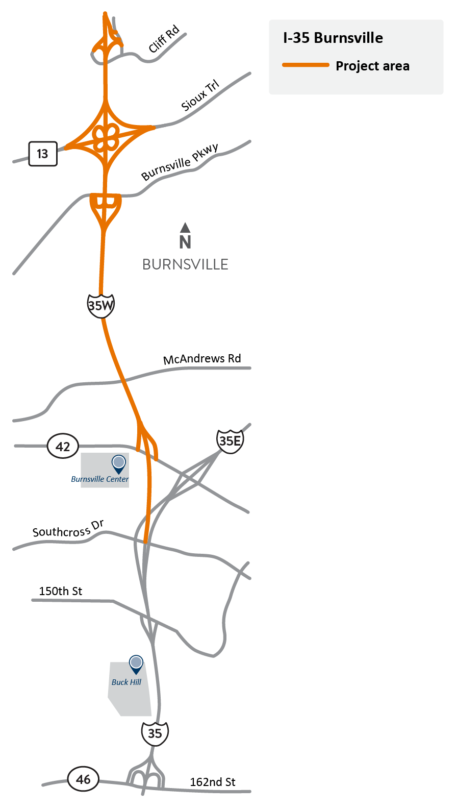
I-35W in Burnsville project location map.
All traffic impacts are tentative and weather dependent.
Current
Road closures
9 p.m. Fri, April 25 through October 2026
- Cliff Rd. under I-35W is closed
Lane closures
Through winter 2025/2026
- Northbound I-35W is reduced to two lanes between the the I-35/I-35E/I-35W split and the Burnsville Pkwy.
- Southbound I-35W is reduced to two lanes at Cliff Rd.
Ramp closures
9 p.m. Fri, April 25 through winter
- The ramp from Cliff Rd. to southbound I-35W is closed
- Detour (westside of I-35W): Dupont Ave. to 126th St. to Co. Rd. 5 to eastbound Hwy 13 to southbound I-35W (PNG)
- Detour (eastside of I-35W): Cliff Rd. to northbound I-35W to Black Dog Rd. interchange to southbound I-35W (PNG)
Access changes
Mon, Oct. 27, 2025
- Access to eastbound Co. Rd. 42 from southbound I-35W has permanently changed. Motorists will now use the newly constructed ramp at Buck Hill Rd. to access both eastbound Co. Rd. 42 and Buck Hill Rd.
Upcoming
Information about upcoming traffic impacts will be posted as details become available. Motorists can expect road, lane and ramp closures as work is completed.
About this project
In coordination with the City of Burnsville and Dakota County, we will resurface I-35W between Cliff Rd. and the Burnsville Split.
Summary of work
- Replace both pavement and concrete pavement on I-35W
- Bridge repair, or replace bridges at Cliff Rd., Hwy 13 and Burnsville Pkwy.
- Update guardrail
- Improve drainage
