Maps of Tribal Governments
Depicting public roads, route systems and other major features
Preparing and maintaining core GIS and CAD data at a planning level scale
Depicting public roads, route systems and other major features
| Upper Sioux Community |
| Lower Sioux Community |
| Prairie Island Community |
| Bois Forte Band of Chippewa |
Communities: |
| Nett Lake Community |
| Pelican Lake Community |
| Leech Lake Band of Ojibwe |
| Communities: |
| Bena |
| Deer River |
| Zemple |
| Squaw Lake |
| Walker |
| Federal Dam |
| Ho-Chunk Nation of Wisconsin (Minnesota Lands) |
Communities: |
| Bejou |
| Waubun |
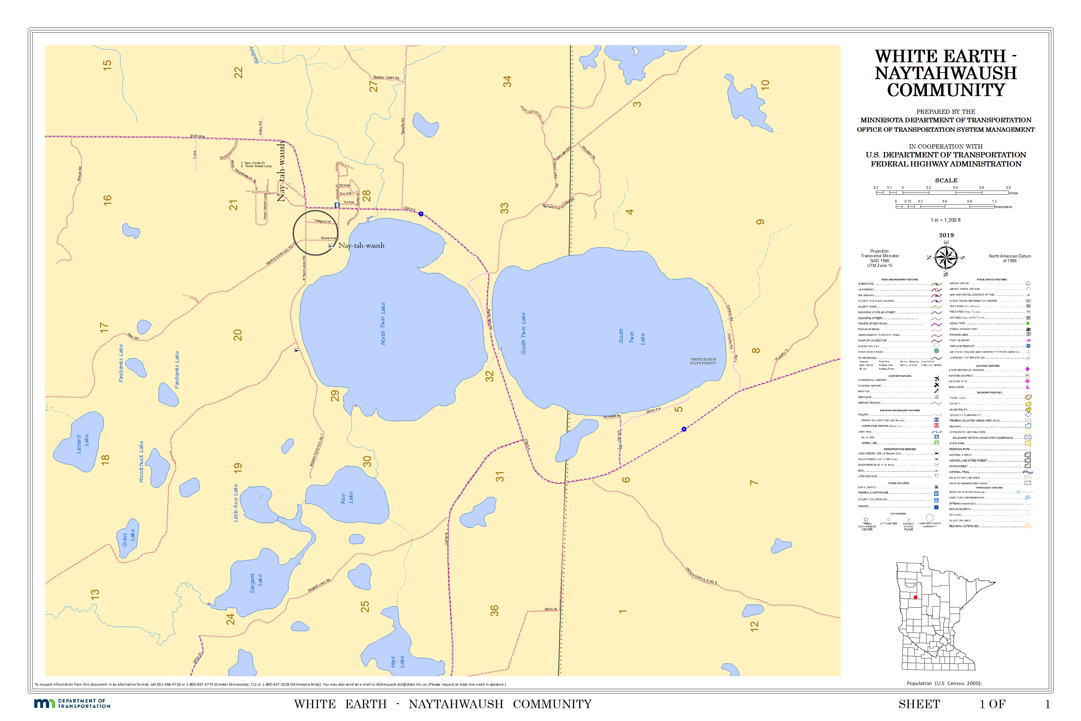
| Naytahwaush Community |
| Elbow Lake Community |
| Pine Point Community |
| White Earth Community |
| Fond du Lac Band of Lake Superior Chippewa |
| Red Lake Band of Chippewa |
|
Communities: |
| Ponemah Community |
| Red Lake Community |
| Redby Community |
| Mille Lacs Band of Ojibwe |
|
Communities: |
| Vineland Community |
| Grand Portage Band of Lake Superior Chippewa |
| Grand Portage Community |